TrueNav RTK

Centimeter RTK from real base stations.
Not a virtual network.

We use TRUE RTK — real local base stations — instead of competitor virtual reference stations, for the most accurate local correction data. Agriculture. Construction. Survey.

No card. NTRIP login emailed within 24 hours. 30 days, no strings.

1–3 cmHorizontal and vertical
Immediate FIXLock time that holds up in the field
Triple-bandGPS · GLONASS · Galileo · BeiDou
RTCM 3.2 / NTRIPNMEA, RTCM 3.2, RINEX

True RTK vs VRS

A real station near the work.
Not a modeled point in the cloud.

Most networks sell VRS — virtual reference stations. TrueNav sends TRUE RTK from physical local bases. Triple-band, four constellations, and immediate FIX. That is the difference we hang the business on.

TrueNav · True RTK

Real local base stations

Correction data from an actual reference near you. Auto-connects to the nearest base. Local, not virtual.

  • 1–3 cm horizontal and vertical accuracy
  • Immediate FIX time
  • Triple-band, four constellations (GPS, GLONASS, Galileo, BeiDou)
  • Automatic assignment to the nearest base station
  • International and local datum support
  • Geodetic-grade receivers and antennas
Typical competitor · VRS

Virtual reference stations

A computed / interpolated reference — not a physical base sitting in your operating area.

  • Network-modeled point, not a local station you can point to
  • Corrections synthesized across a virtual grid
  • The thing TrueNav is built not to be

Agriculture

Guidance that stays put when the header is in the crop.

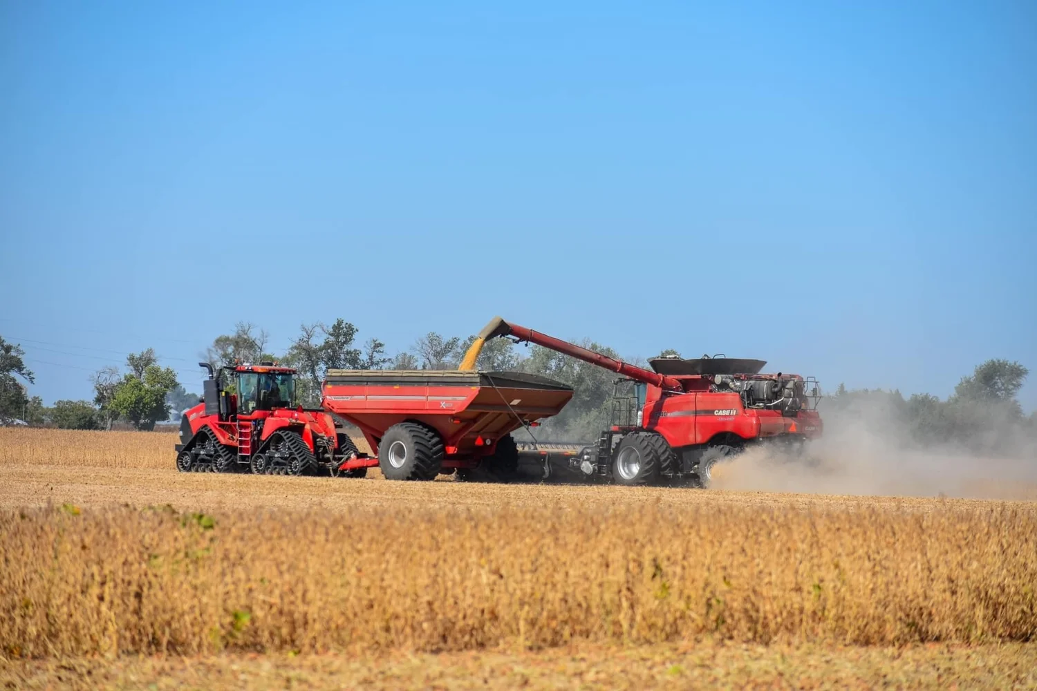
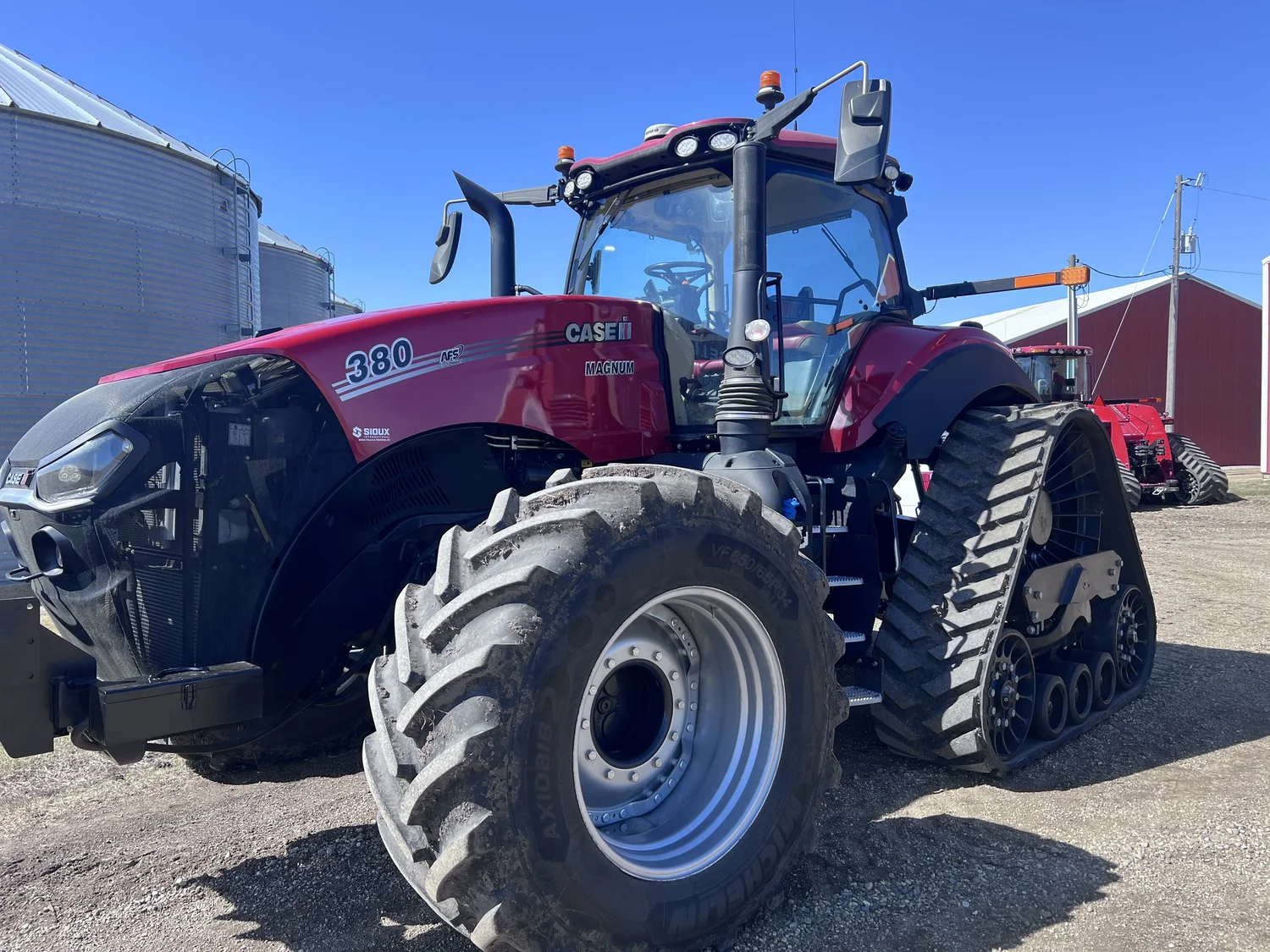
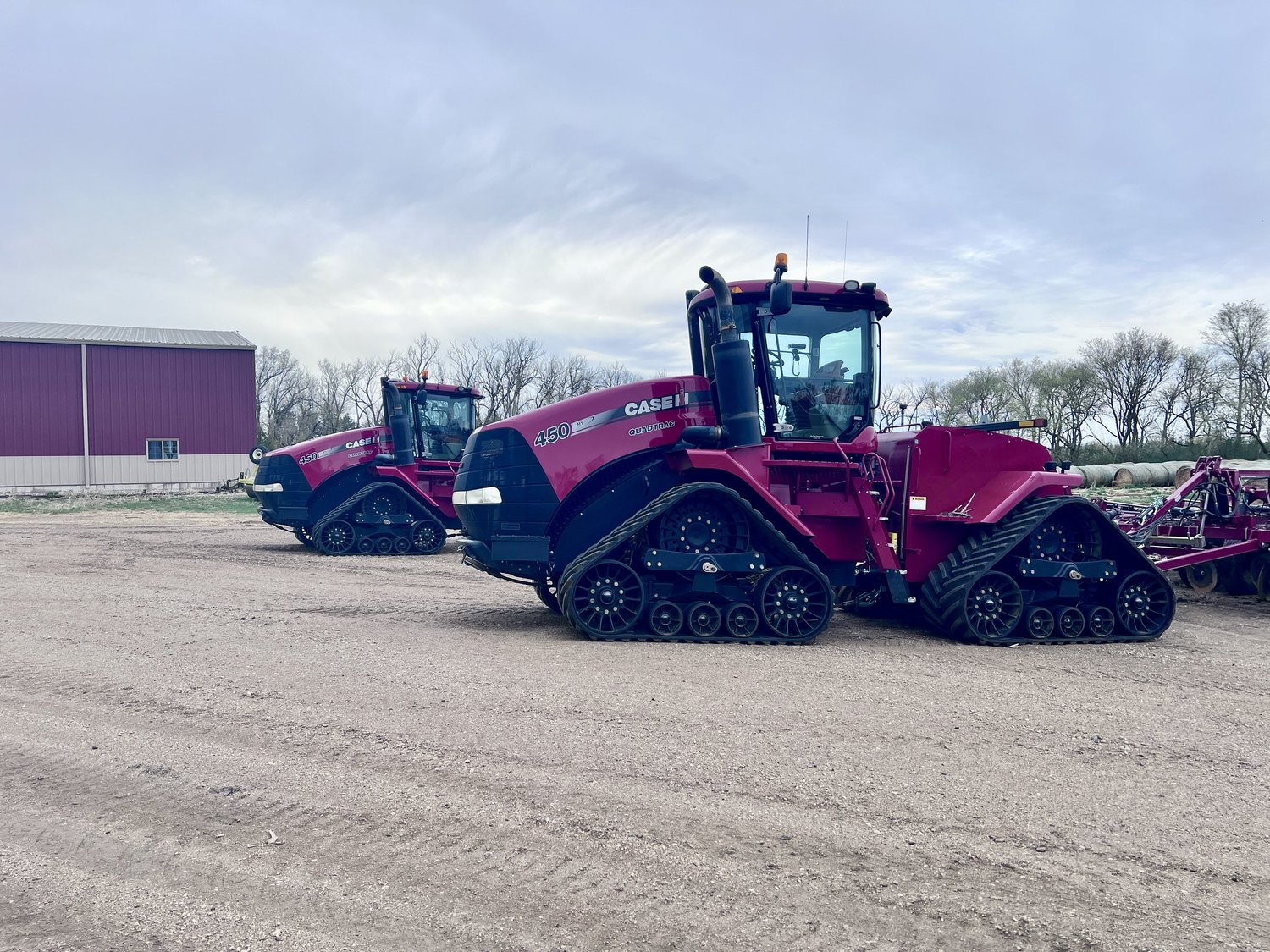
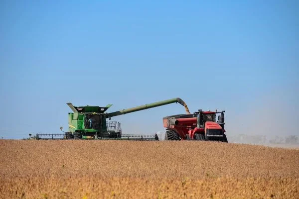
Case IH, John Deere combines, StarFire 7000/7500, CNH / Trimble Ag. If the display takes NTRIP and RTCM 3.2, we will tell you straight whether it will run.

Case IH combine and Quadtrac unloading in the field
Case IH

Construction

Grade work that matches the stake, not the guess.

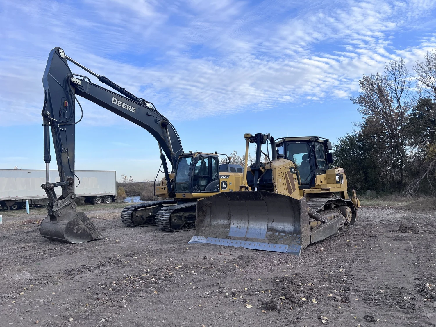
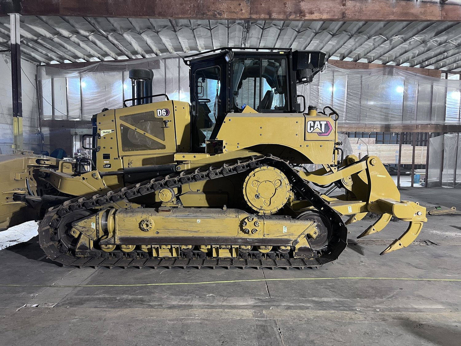
Trimble Construction and Cat D6 with Grade 3D are already running TrueNav in the dirt. Centimeter vertical is the point — not a marketing rounding error.

Caterpillar D6 with Grade 3D GNSS
Cat D6 with Grade 3D

Survey

A rover that fixes to a real base, then stays there.

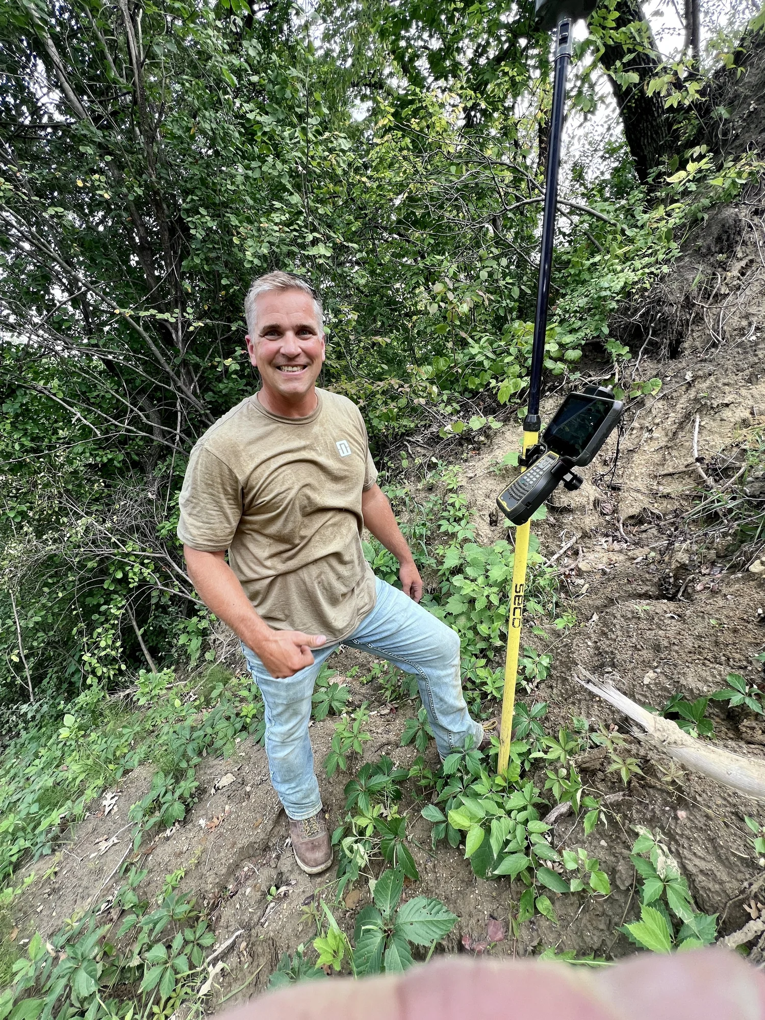
Trimble Survey hardware, RTCM 3.2 over NTRIP, RINEX when you need it. Same network the ag and dirt crews use.

GNSS rover on a survey pole in the field
Trimble Survey

Hardware in use

Not a compatibility spreadsheet. Machines we actually run.

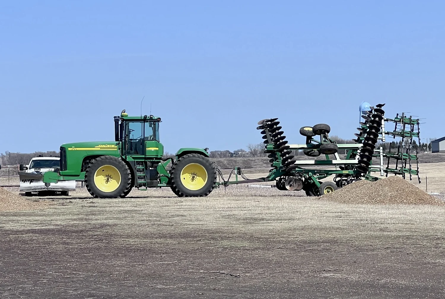
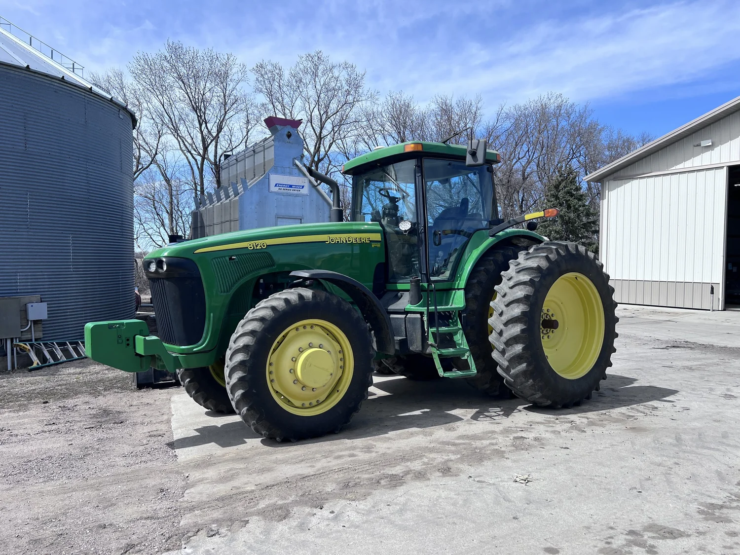
From the TrueNav yard and jobs — CNH / Trimble Ag, StarFire 7000/7500, Trimble Survey, Trimble Construction, Case IH, John Deere combine, Cat D6 Grade 3D.

Coverage

See the bases. See the iron.

The Dakotas coverage map is the real network — stations, accuracy rings, nearest bases. Not a shaded marketing blob. Open it and look at where TrueNav actually is.

GNSS RTK

High-performance data, standard pipes.

Compatible with GNSS receivers that speak RTCM 3.2 and NTRIP — including most GPS receivers, drones, and surveying equipment. Customizable solutions and flexible subscription plans; talk to us for terms.

Accuracy
Centimeter-level, 1–3 cm horizontal and vertical
Protocols
RTCM 3.2, NTRIP
Formats
NMEA, RTCM 3.2, RINEX
Base assignment
Automatically connects to the nearest base station
Datums
International and local datum systems
Optional local base
Free local RTK base station available under certain terms and conditions

30-day trial

We believe in taking test drives.

Truly no strings attached. No card. We email an NTRIP login to use for 30 days — username and password within 24 hours — and hope you are as impressed as we are.

Request a trial login

Or call 605-366-1322