
RTK Data the way it should be.
It’s Fast, Affordable and overall Better than our competitors.
We use TRUE RTK instead of competitors Virtual reference stations to provide the most accurate LOCAL correction data.
True RTK vs. VRS
1-3cm horizontal AND vertical accuracy
Immediate FIX time.
Agriculture - Construction - Survey
-
![Case IH rtk]()
Case IH
-
![Two large construction vehicles, a black excavator and a yellow bulldozer, parked on dirt ground with a blue sky and sparse clouds overhead, and trees in the background.]()
Trimble Construction
-
![A man stands outdoors in a wooded area, smiling at the camera, next to a yellow soil sampling device with an attached digital sensor.]()
Trimble Survey
-
![Cat D6 with Grade 3D]()
Cat D6 with Grade 3D
-
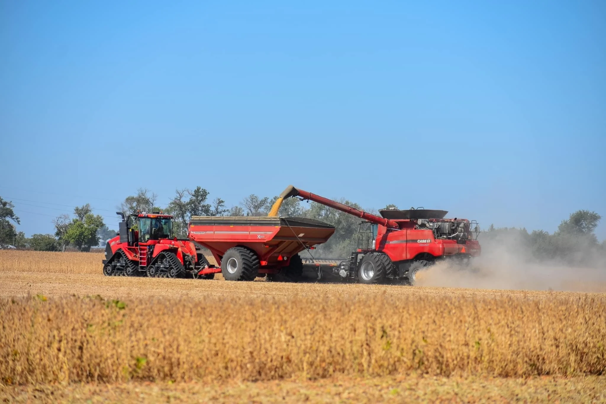
![A combine harvester filling a truck with harvested crop on a farm field under a clear blue sky.]()
Case IH & John Deere Combine
-
![Case IH Magnum 380]()
Case IH
-
![John Deere 9120 w/ SF-7000]()
StarFire 7000/7500


GNSS RTK Technology
High Performance Data: Centimeter-level accuracy (horizontal and vertical)
Compatibility with thousands of GNSS receivers (RTCM 3.2 and NTRIP protocols).
Automatic Base Assignment: Automatically connects to the nearest base station.
Datum Support: Compatible with international and local datum systems.
High quality base stations: Geodetic-grade receivers and antennas, triple frequency and multi-constellation support (GPS, GLONASS, Galileo, BeiDou).
Scalability, Flexibility & Support: customizable solutions, flexible subscription plans, and comprehensive customer support available.
Optional: Enhance your data performance even more with a free local RTK base station, available under certain terms and conditions.
True RTK
Triple-band frequency, 4 constellations and Immediate FIX; outperform competitors VRS networks.

Integration
Hardware Compatibility: Compatible with most GPS receivers, drones, and surveying equipment, ensuring broad usability across different devices.
Standard Protocols: our data supports standard protocols such as RTCM 3.2 and NTRIP.
Data Formats: The system supports common GNSS data formats, including NMEA, RTCM 3.2, and RINEX, ensuring ease of data handling and integration into various software systems.